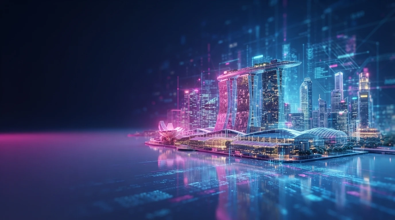
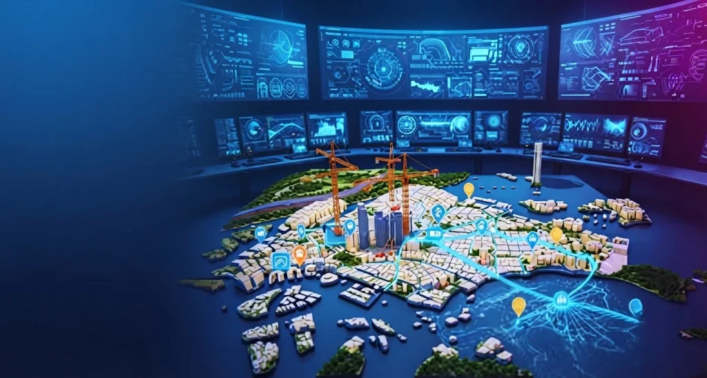
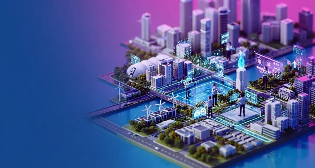
Virtual Singapore is the result of collective effort. It begins with boots on the ground, surveyors meticulously mapping the city’s contours. Aerial photographers take flight, capturing its essence from above. Government agencies share their wealth of data, piece by piece.
Virtual Singapore owes its existence to a multitude of factors:
Data Acquisition:
Geospatial Data Foundation: Virtual Singapore’s digital twin begins with the acquisition of geospatial data. This includes conducting high-resolution LiDAR scans, which utilize lasers to meticulously map the 3D geometry of buildings, infrastructure, and natural elements like trees. Additionally, detailed aerial imagery captured from airplanes contributes to the visual information, enriching the dataset with textures, colors, and overall city layout.
Integration of Existing Datasets: To further enrich the dataset, Virtual Singapore integrates pre-existing data from various government agencies. This includes valuable information such as building blueprints, utility maps, and potentially even real-time traffic flow data, providing a comprehensive foundation for the digital twin.
3D Modeling & Visualization:
Utilization of Specialized Software Platforms: The acquired geospatial data and existing datasets are synthesized using specialized software platforms like Dassault Systèmes’ 3DEXPERIENCE City platform. These platforms serve as the digital workshop, where the disparate data sources are seamlessly combined into a cohesive and detailed 3D model of Virtual Singapore.
Tailored Level of Detail: Depending on the intended purpose, the level of detail within the digital twin varies accordingly. While building exteriors and street layouts are meticulously rendered to facilitate precise planning, interiors or underground infrastructure may initially exhibit less granularity.
Real-Time Data Integration:
Dynamic Integration of Sensor Networks: To enhance the dynamism of the digital twin, Virtual Singapore may integrate real-time data streams from sensor networks deployed throughout the city. These networks could encompass a variety of sensors, including those monitoring traffic, weather, and energy usage within buildings.
Simulation & Analysis: By merging the 3D model with real-time data, Virtual Singapore enables planners to conduct simulations and analyses. These simulations provide valuable insights into the potential impacts of changes within the physical cityscape, aiding in informed decision-making processes.
Collaboration & Accessibility:
Centralized Platform for Collaboration: The digital twin of Virtual Singapore is likely hosted on a centralized platform, accessible to authorized users from various government agencies and private entities involved in urban planning and infrastructure projects.
Facilitation of Informed Decision-Making: This shared platform fosters collaboration and data exchange, enabling informed decision-making on a wide range of urban planning, resource management, and infrastructure development initiatives, ultimately contributing to the sustainable growth and management of Virtual Singapore.




 Back
Back